


Zirl

Arnaud Dejean
User
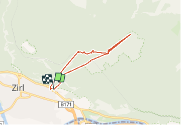

Length
5.8 km

Max alt
1167 m

Uphill gradient
592 m
Km-Effort
13.7 km

Min alt
638 m

Downhill gradient
589 m
Boucle
Yes
Creation date :
2020-08-01 06:57:01.315
Updated on :
2020-08-01 10:06:37.046
3h00
Difficulty : Medium

FREE GPS app for hiking
 SityTrail
IGN / Geographical institutes
SityTrail Plus
The world is yours!
About
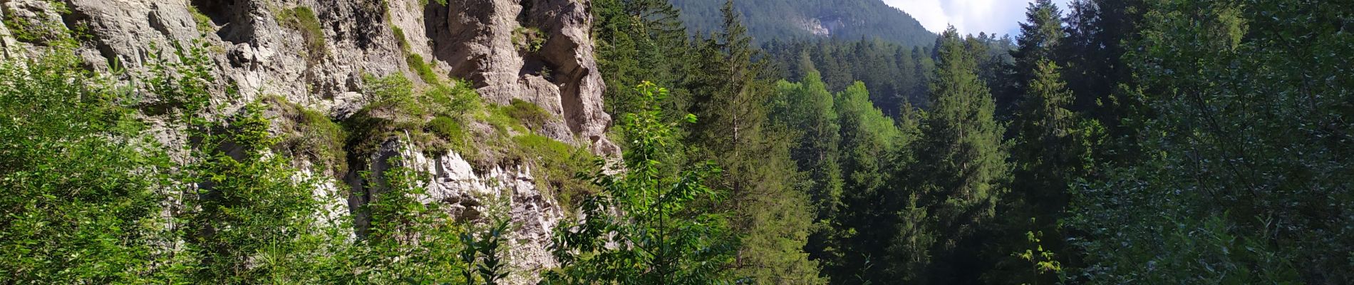
Trail Walking of 5.8 km to be discovered at Tyrol, Bezirk Innsbruck-Land, Marktgemeinde Zirl. This trail is proposed by Arnaud Dejean.
Photos


Positioning
Country:
Austria
Region :
Tyrol
Department/Province :
Bezirk Innsbruck-Land
Municipality :
Marktgemeinde Zirl
Location:
Unknown
Start:(Dec)
Start:(UTM)
670429 ; 5238065 (32T) N.
Comments